
Since the DANA of October 2024 near Valencia, flooding has become a legitimate concern for many buyers. It was one of the worst natural disasters in Spanish history, with more than 230 fatalities. And it did not stop there: in October 2025 DANA ‘Alice’ swept across Valencia, Alicante and Murcia, and in early 2026 heavy storms followed over Andalusia. It’s only logical to wonder whether your dream home on the coast will stay dry. The good news is that this risk is not a matter of luck. It is location-specific and you can check it in advance, right down to street level.
01How big is the flood risk in Spain really?
First some nuance, because the picture is less bleak than the headlines suggest. Across Spain, roughly 8% of homes lie within a flood risk zone. The vast majority of homes therefore lie outside it, and for that 8% you can know in advance whether a specific property is one of them.
It’s also important to distinguish heavy rain from actual flood damage. An entire region can get several days of serious rain without anything going wrong. The serious damage almost always concentrates in a few specific spots: low-lying plains, river zones and so-called ramblas, dry beds that fill up in a short time during heavy rain.
That intense water belongs to a weather phenomenon you often see in Spanish reports: the DANA, popularly also known as the gota fría. Warm, moist sea air collides with cold air at altitude, and then an absurd amount of rain can fall in just a few hours. The phenomenon occurs mainly in autumn and spring, and above all on the east coast. Because of the warming sea water, an average DANA now drops more rain than it used to.
02How to check for yourself whether a home lies in a flood zone
Spain has a free, public mapping system that lets you see per address whether a property lies in a flood zone: the Sistema Nacional de Cartografía de Zonas Inundables, SNCZI for short, managed by the Ministry for the Ecological Transition.
Here’s how to use it in four steps:
- Open the SNCZI map and zoom in on the town or address you want to check.
- In the top menu, open the flood maps (the ‘zonas inundables’) and select the layer for river flooding. For homes by the sea, also look at the layer for flooding from the sea.
- Choose the return period. You can choose between a probability of once every 10, 100 or 500 years. For a first, level-headed assessment, the once-in-100-years map is the most useful.
- Watch the ‘zona de flujo preferente’, the most dangerous zone where the water flows fastest and deepest. If a property lies within it, that is a serious point of attention.
Two terms help you read the map. A zona inundable is an area that can flood, linked to a statistical return period. The shorter that period, the higher the probability: once every 10 years is a high risk, once every 500 years is a low, exceptional risk. If you want to check it on the go, the accompanying infoAGUA app offers the same information on your phone.
03The flood risk by region
The risk rarely sits in a whole stretch of coast, but in low-lying areas, ramblas and river zones. So the message is not ‘away from the sea’, but ‘away from vulnerable catchment areas and low-lying spots’. Things can go wrong inland too. Per region we therefore point out not only where the risk is higher, but also which places are usually less vulnerable.
But read that last part carefully: less vulnerable does not mean risk-free. Even a place that stayed dry in 2024 can have a low-lying street next to a barranco. The region and the town give you a direction, but the final word is always checking the exact address on the SNCZI map.

Valencia (city and surroundings). This is where the greatest fear lives, and this is exactly where nuance helps. The 2024 disaster had one clear cause: the Barranco del Poyo overflowed and pushed a wall of water from the western hinterland (Chiva, Cheste) towards the low-lying plain south of the city. That explains why the damage was so concentrated.
The hardest hit was l’Horta Sud, the southern belt: places such as Paiporta, Catarroja, Benetússer, Alfafar, Massanassa, Sedaví, Torrent and Aldaia. In addition, the western corridor along the Túria and the Poyo (including Riba-roja, Manises and Quart de Poblet) and, further south, the Ribera around the Magro river (Algemesí, Carlet, l’Alcúdia) and the inland area around Utiel-Requena.
The northern side of Valencia, on the other side of the drained Turia, was by contrast largely spared. Places such as Godella, Rocafort, Moncada, Burjassot, Alboraya, Puçol, El Puig and, further north, Sagunto are not on the official list of affected municipalities. They lie outside the Poyo basin and generally on slightly higher ground, which makes them considerably less vulnerable. The city of Valencia itself is moreover well protected because the Turia was diverted around the city decades ago, although the southern pedanías towards La Albufera (such as El Palmar and Castellar-l’Oliveral) do remain vulnerable.
One place deserves a separate note: Paterna. Unlike most northern towns, Paterna is on the affected list, because parts of it lie against the Túria-Poyo corridor. Here the neighbourhood- and address-specific check is therefore extra important, because within a single municipality the difference can be large.
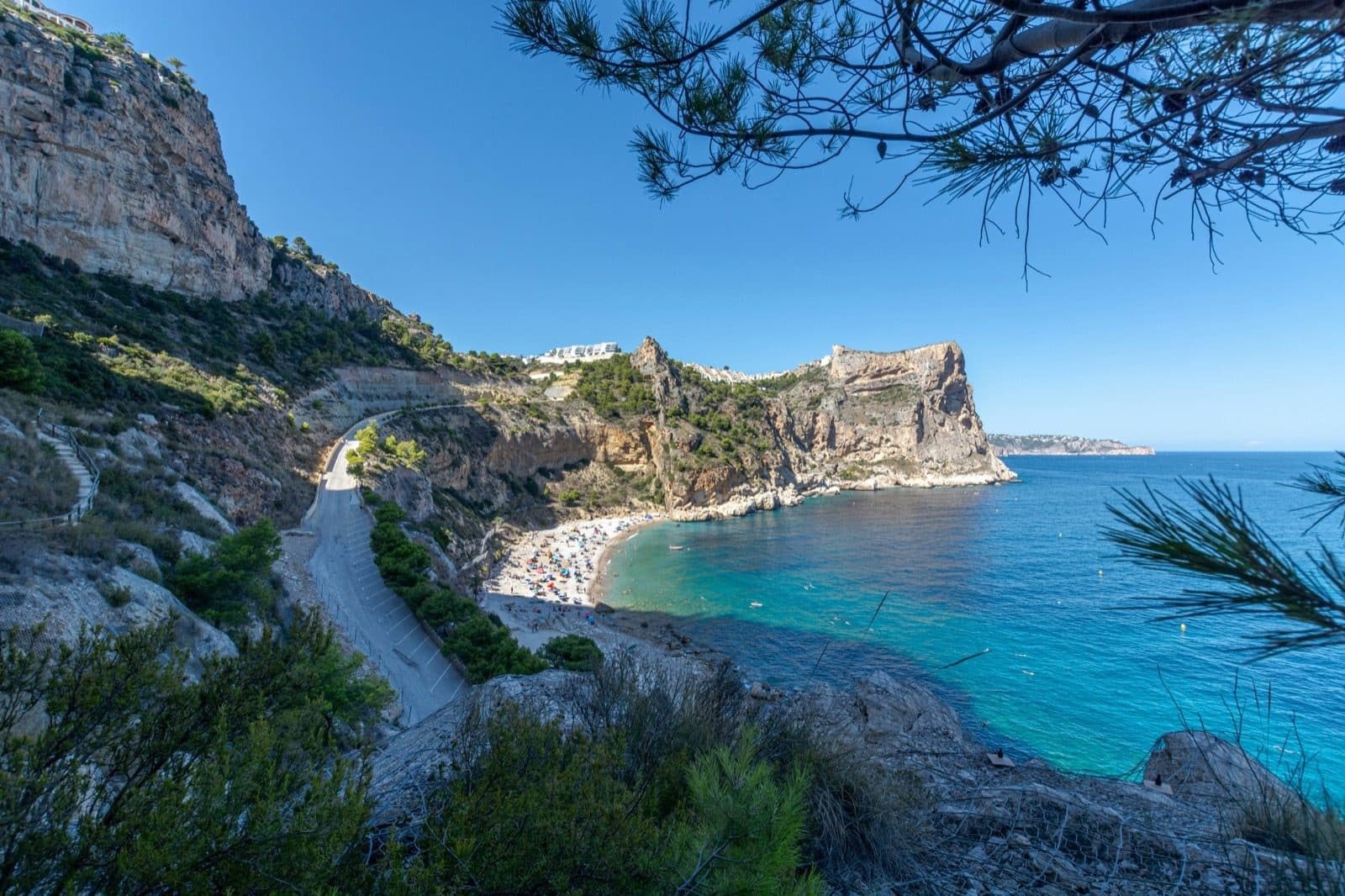
Costa Blanca (Alicante). This is the heartland of the DANA phenomenon; the term gota fría comes from here. The risk sits mainly in the ramblas, the coastal plains and the low-lying Vega Baja around the Segura river in the south (the area around Torrevieja and the lower parts of Orihuela Costa). In the north, the valley of the Gorgos (the floor of the Jalon valley) and the low strip around the Arenal of Javea call for attention. Usually less vulnerable are the higher hillside urbanisations, such as Benitachell and Cumbre del Sol, the slopes around Moraira and the Montgó, and La Sella. In short: a hill often means lower risk, a valley floor and coastal strip more often higher.
[Costa Cálida](/regio/costa-calida) (Murcia). Strongly prone to sudden floods from ramblas. The lowest and most vulnerable is the edge of the Mar Menor; Los Alcázares, for example, suffered serious water problems several times in recent years. Higher-lying places a little further from the lagoon and the ramblas are generally less vulnerable.
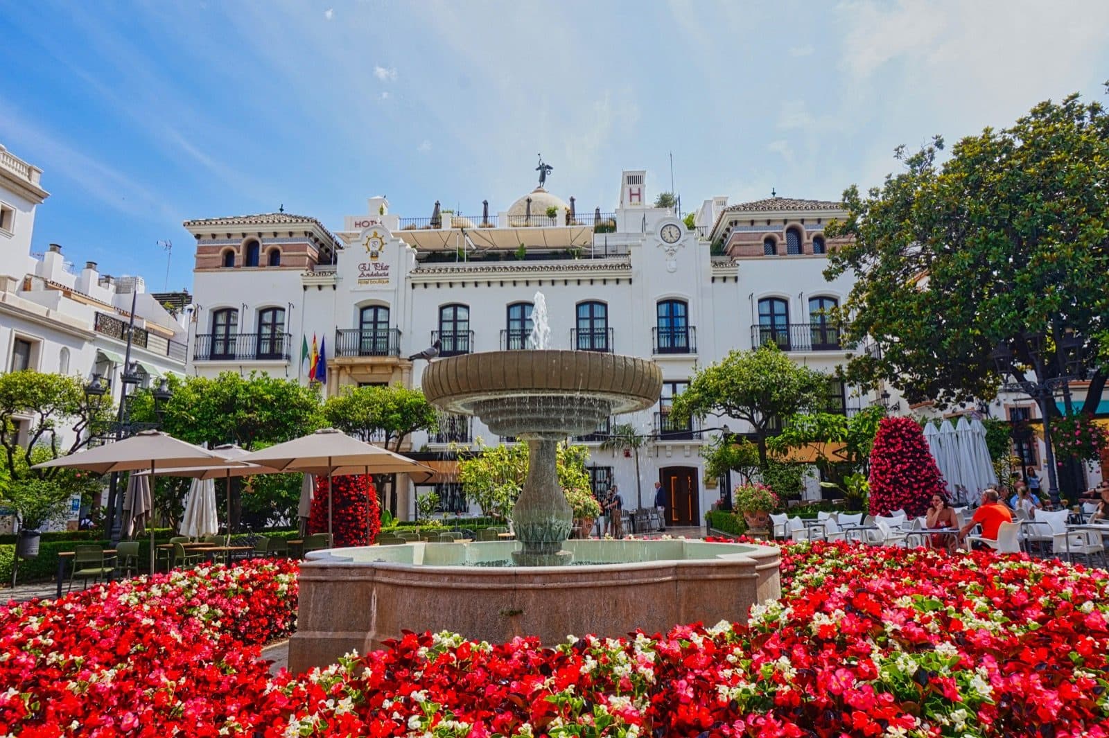
[Costa del Sol](/regio/costa-del-sol) (Málaga). Less extreme than the Levante coast, but not risk-free. In early 2026 a heavy storm caused water problems and evacuations in parts of Andalusia, especially in specific valleys and low-lying areas. The risk here sits mainly at the mouths of rivers and ramblas (for example towards Estepona and Marbella) and in the hinterland of the Axarquía. The higher-lying residential areas on the hills, such as Sierra Blanca and the higher parts of Nueva Andalucía and Benahavís, generally sit more favourably.
Costa Brava and Costa Dorada (Catalonia). More moderate and more varied. The big cities are not routinely under water; usually it involves local situations in coastal zones and urban drainage, with the southern part towards Tarragona mentioned somewhat more often.
Through all of this, remember: a place that stayed dry in 2024 is a reassuring sign, but no substitute for the address check. A lower risk you confirm, a higher risk you discover on the SNCZI map.
04What does your insurance cover in a flood?
Here is a reassuring part of the story that many buyers don’t know. Damage from extraordinary floods is compensated in Spain by the Consorcio de Compensación de Seguros, a public body funded by a surcharge on insurance premiums.
There are conditions, though. You must have an active home insurance policy (seguro de hogar) at the time of the flood, your premium must be paid, and there is a waiting period: your policy usually has to have been active for at least seven days. So you cannot quickly take out insurance the day before an announced storm and expect everything to be covered.
If those conditions are met, the Consorcio compensates the material damage to the home, and in many cases also consequential loss such as temporary accommodation if your home is uninhabitable. You can file a claim through your insurer or intermediary, or directly with the Consorcio. The practical lesson for every buyer: make sure your home insurance is properly arranged from day one and insured for the right value.
05What to look out for at the viewing and the purchase
The map and the insurance are the basics. Beyond that, it helps to look with different eyes during a viewing. A few concrete points:
- Whether there is a rambla, stream or barranco next to or behind the plot, and how the terrain slopes towards the home.
- How things stand with the ground floor, the garage and any basement (sótano), because those are the first places to flood.
- Whether there are traces or a history of earlier water problems in the street or the urbanisation.
- For a home with an owners’ association: ask whether there has been earlier water damage or planned drainage works.
The address check is one step in a longer purchase; the rest is in our guide to buying a home in Spain. Want to be sure whether a home you have your eye on is on dry ground? Schedule a no-obligation call and we’ll lay the flood check alongside your search.
Marc Stam
Guides buyers through the buying process in Spain and puts a flood check on the agenda as standard for every home you seriously consider. Works in Costa Blanca, Valencia and Costa del Sol.